Rutgers climate scientist believes that Arctic warming is altering jet stream around Northern Hemisphere

It’s been an extremely cold winter so far in New Jersey – often colder, in fact, than it has been in Anchorage, Alaska. In California, the governor has declared a drought emergency.There has been snow in Savannah and sleet in Mobile. What’s happening? Rutgers climate researcher Jennifer Francis explains that the polar vortex, a region of cold air above the North Pole, is at the center of the action.
Francis is a research professor at the Institute of Marine and Coastal Sciences in the School of Environmental and Biological Sciences.
Rutgers Today: What is the polar vortex?
Jennifer Francis: The polar vortex large pocket of very cold air that generally sits over both the North and South Poles. It is sequestered from the warmer air -- to the south in the Northern Hemisphere and to the north in the Southern Hemisphere -- by the encircling jet stream.
Rutgers Today: Why is the polar vortex important?
Francis: It’s important because the difference in temperature between the cold air in the polar vortex and warmer air outside of it drives the jet stream, a narrow, variable band of very strong, predominantly westerly air currents encircling the globe several miles above the earth – and the jet stream has a lot to do with our weather. In the Northern Hemisphere, the jet stream moves west to east in a wavy pattern.
When the polar vortex is particularly cold, as it is in the winter, the jet stream winds tend to be strong and flow in a more circular path around the hemisphere. When the air inside the polar vortex warms, the west-to-east winds of the jet stream tend to weaken and the jet stream’s path tends to meander more to the north and south in larger waves.
Rutgers Today: How does it affect our weather?

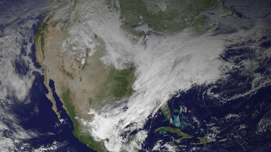
Instead of cold, Canadian air grazing the northern tier of the U.S., then draining off into the North Atlantic Ocean, the heart of this Arctic air plunged south. Accompanying this southward buckling of the jet stream was a pronounced northward diversion of the polar jet stream over the eastern Pacific Ocean and West Coast of the U.S., causing unusually warm temperatures in Alaska and dry conditions in California.
Rutgers Today: Is climate change to blame for this meander?
Francis: We can’t say these extremes are happening because of climate change, but we can say that they’re more likely because of climate change. Note that when a big trough occurs in one place, there is almost always a big northward swing of the jet stream -- called a ridge -- on either side. That is certainly the case now, and it is causing an unusually warm winter in Alaska, drought conditions in California and a particularly warm winter in Scandinavia as well.
Journalists may contact Ken Branson of Rutgers Media Relations at 848-932-0580 or kbranson@ucm.rutgers.edu